 |
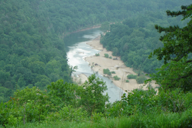
| photo by Bonnie Dillard |
While the land at the site of the Buffalo River State Park was protected, the river itself was not. During the 1930’s, there was an initiative to dam rivers for hydroelectric power and flood control and many dams, including the Bull Shoals and Norfork reservoirs were established. In early 1961, the push was on to place not one, but two dams on the Buffalo; one at Lone Rock and one at Gilbert. There was vocal and organized support both for and against the dams. Recent localized flooding had added to support for at least a flood control dam to be built. The Arkansas chapter of the Nature Conservancy, against the dams and the Buffalo River Improvement Association, a group advocating the dams squared up on opposite sides, each trying to rally local and national public officials to their respective causes.
After a long and hard-fought battle, a bill was passed in the United States House of Representatives and sent to the oval office. On March 1, 1971, President Nixon made the dream of the nation’s first National River a reality and funds were set aside for its creation.
Even after the bill was passed, the controversy was not over. Even to this day, over 40 years later, locals who were relocated from land that had been in their families for generations still hold a high degree of resentment against the federal government and its “heavy-handed” tactics.
 |
| photo by Bonnie Dillard |
A beautiful and popular destination for Arkansas visitors, the Buffalo National River still floods during heavy rains, but the National Park Service issues warnings to visitors of impending flood conditions. If it had been dammed, it would be just another local lake. Instead, it is a unique part of our National Parks system and a welcome respite for those who enjoy floating, hiking and camping.
 |
| Flooding from 2008 Dillard's Ferry - Hwy. 14 East from Yellville Top photo is about 2 hours after maximum flood stage. Second photo is 24 hours later. Photos by Bonnie Dillard |
To read more about the change from State Park to National River and how it affected the local population read Stolen Water, Forgotten Liberties: A True Story of Life Along Arkansas' South Highway 14 and the Buffalo River by Jenny Barnes Butler
Sources: The Battle for the Buffalo by Compton, Neil , University of Arkansas Press ©1992


No comments:
Post a Comment